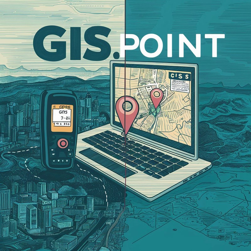
Everyone has heard of GPS, but not everyone can thoroughly explain what kind of system it is, how it works, or why it is useful. Yes, it’s a satellite navigation system that helps us find our locations on a map. But did you know that there is also GIS? This powerful technology can analyze and process vast amounts of spatial data, opening up new horizons in resource management, urban planning, and even science. Companies like gis-point.com specialize in providing GIS services. So, what is the difference between GPS and GIS, and why is it important to understand both systems?
What is GPS
GPS (Global Positioning System) is a technology that determines the precise location of any object on Earth using satellites. The principle of GPS operation is as follows: several satellites orbiting the planet send signals to calculate coordinates. The main functions of GPS include:
- navigation for cars and smartphones
- tracking vehicles
- route planning for hiking
Since the invention of GPS, it has become much easier to navigate and find necessary locations in everyday life.
What is GIS
GIS (Geographic Information System) is a system that helps collect, store, analyze, and display information about objects on Earth. Simply put, GIS combines data about geographical features, such as buildings, roads, and rivers, and helps us understand how they are located and interact with each other.
The operation of GIS is based on gathering data from various sources (maps, satellites, surveys). This data is then transformed into understandable maps or diagrams. With GIS, it is easier to understand where objects are located, how areas change, and what resources are available in a specific place.
GIS is widely used in various fields, including:
- cartography for creating different types of maps
- natural resource management
- urban planning for developing city infrastructure
- predicting natural disasters
The system helps us better understand how everything is organized on our planet and make informed decisions.
What are the differences between GIS and GPS
GPS (Global Positioning System) determines the exact location of objects on Earth using satellites. This is essential for orientation in the terrain. In contrast, GIS (Geographic Information System) is a more powerful platform. It not only provides coordinates but also offers geographic information that allows users to create maps, identify trends, predict changes, and make decisions based on spatial data.
Comparison of data collection and processing methods
GPS collects data about your location via satellites. This data consists of specific coordinates that are constantly updated. In contrast, GIS uses data from various sources—such as GPS, satellite images, maps, and aerial photographs. The system combines this information to create a comprehensive picture of the area.
Differences in the scale of application
GPS is more commonly used at the personal level for navigation, such as when you use a navigation device in a car. GIS, on the other hand, is used for both global and local tasks in urban planning, natural resource management, ecology, and more. While GPS provides a point on the map, GIS shows the entire map with detailed analysis and forecasts.
Where GIS and GPS Are Used
GPS is like our “map in our pocket”. We use it every day to navigate while driving when we want to find the fastest route or avoid traffic jams. Athletes rely on GPS to track their routes while running or cycling. Tourists can’t imagine traveling without GPS, as it helps them avoid getting lost in a new city or in the mountains.
GIS, on the other hand, is used to analyze large amounts of information. Businesses can use GIS to analyze the market and determine where to open a new store or which area of the city is best suited for advertising. Scientists employ GIS for environmental research, such as tracking changes in ecosystems. City planners also utilize GIS when they need to plan new roads, parks, or residential areas.
How GIS and GPS Interact
GPS shows us exactly where we are on the map. However, when we have a lot of points or data from different locations that need to be organized and analyzed, GIS comes to the rescue.
Let’s imagine that we need to collect data on the condition of roads in the city. Using GPS, we can record the coordinates of each section of the road that needs repairs. This data is then transferred to GIS, where a map of the city is created, highlighting all the problem areas. This helps planners determine which roads to repair first and how best to organize the work.
Thus, GPS provides the data, while GIS helps us understand it and use it for decision-making.
In summary, GPS and GIS are two distinct technologies that often work together. If you just need to know where you are, you can use GPS. However, if you want to create a map, plan urban projects, or explore large amounts of geographic data, you will need GIS. The choice depends on what you need to accomplish.
Read Also: All You Need to Know About Pipe Locators And Why They Are Used
